
Malham Cove Walk: Janet’s Foss and Gordale Scar Photography
Three icons, one circular walkLast updated: October 2026
Malham is one of the best days out in the Yorkshire Dales for a landscape photographer. In one Malham Cove walk of about five and a half miles you get three icons: the waterfall at Janet’s Foss, the gorge at Gordale Scar and the huge limestone cliff of Malham Cove.
Here’s the route, the photo spots, how busy it gets and how I navigate it with a GPS watch. The GPX route, RAW files and exact photo locations are all on my Patreon.
Malham Cove walk at a glance
| Start | Malham village car park |
|---|---|
| Distance | About 5.5 miles, circular |
| Time | About 3 hours walking. It took me 4 with the camera |
| Photo spots | Janet’s Foss, Gordale Scar, Malham Cove and the limestone pavement on top |
| Parking | About £7 when I went. Both car parks fill up on busy days |
| Best time | Early morning. By midday it’s rammed |
| Supporting files | GPX route, RAW files and photo locations on Patreon |
Malham route map
The full route for this walk is on my Patreon as a GPX file. Download it, load it onto your GPS watch or phone, and it’ll take you round Janet’s Foss, Gordale Scar and Malham Cove, the same way I walked it.
Get the Malham GPX route on Patreon
Getting there and parking
It took me an hour and a half to drive from Wakefield, through Bradford and Keighley. Parking cost me £7, which isn’t bad, and it’s safe. By Dales standards that’s practically a bargain.
I left it until the middle of the day and got there around twelve. Both car parks were full and people were parked all along the road, so it was jammed. If you’re coming here, set off for sunrise and get your spot early. Learn from my mistakes, there are plenty to choose from.
Following the route on a GPS watch
I didn’t plan this route myself. Someone else did the hard work, and I’m very grateful to them. I downloaded it from AllTrails as a GPX file, uploaded it to the Garmin app and synced it to my watch. The route overlays the map on the watch, and the watch beeps when I’m on course, when I’m off course and when a turn’s coming up, such as “right in 400 yards” or “take the left fork”.
I followed it all day with just the watch, and it’s given me the confidence to go further afield. My GPX file for the walk is on Patreon, so you can load it straight onto your own watch or phone. More on navigation in my guide to finding the perfect wild camping spot.
Janet’s Foss
Janet’s Foss is a short walk from the car park and it looks amazing. But on a sunny weekend it’s absolutely rammed: there must have been 35 to 40 people there, some of them swimming. I waited about ten minutes to get a clear shot, which in Janet’s Foss terms is a lucky break. Be patient, wait your turn and pick your moment.
Gordale Scar
Gordale Scar is truly fantastic. It’s a limestone gorge carved out over thousands of years by ice and meltwater, and standing at the bottom of it is something else.
I put an ND filter on and took a couple of 25 to 30-second exposures to blur the water, then edited them in black and white.
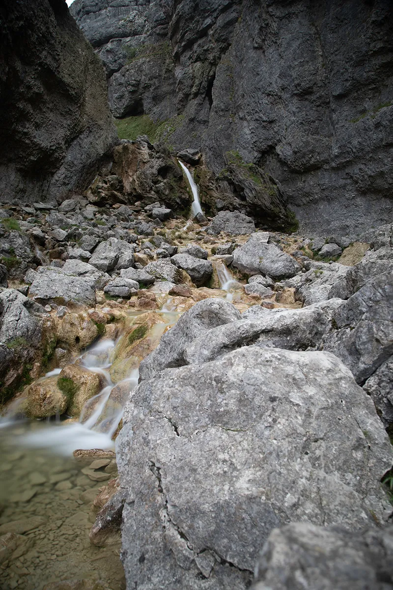
A word of warning: people climb all over the rocks here for a selfie. Water comes down all the time and the rocks are slippy. Take a bump here and you’re in serious trouble, and help can’t reach you quickly. No photo is worth it.
Malham Cove and the limestone pavement
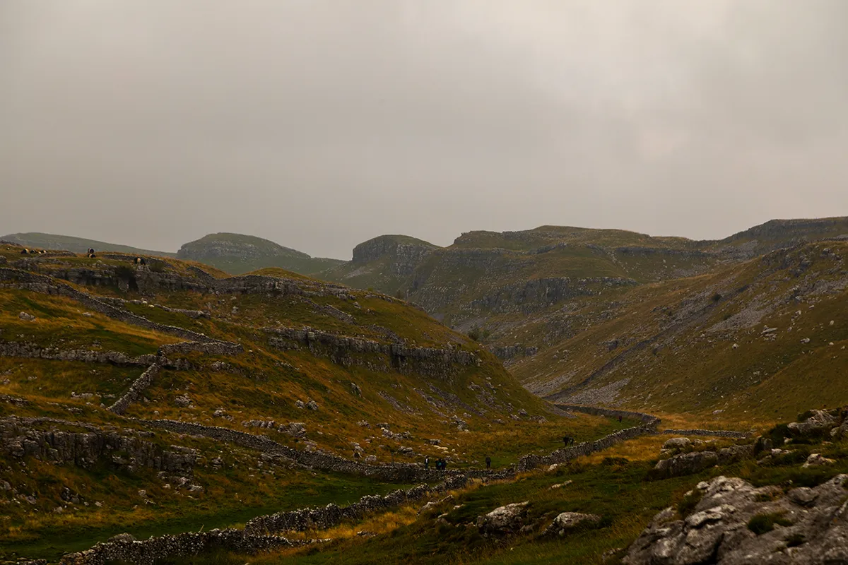
Then the world-famous Malham Cove, a huge curved limestone cliff around 80 metres high. There were 40 or 50 people climbing on the face when I was there.
On top is the limestone pavement, where I set up a timelapse. Be ready for the wind. It’s freezing up there once you stop walking, even when you were warm on the way up.
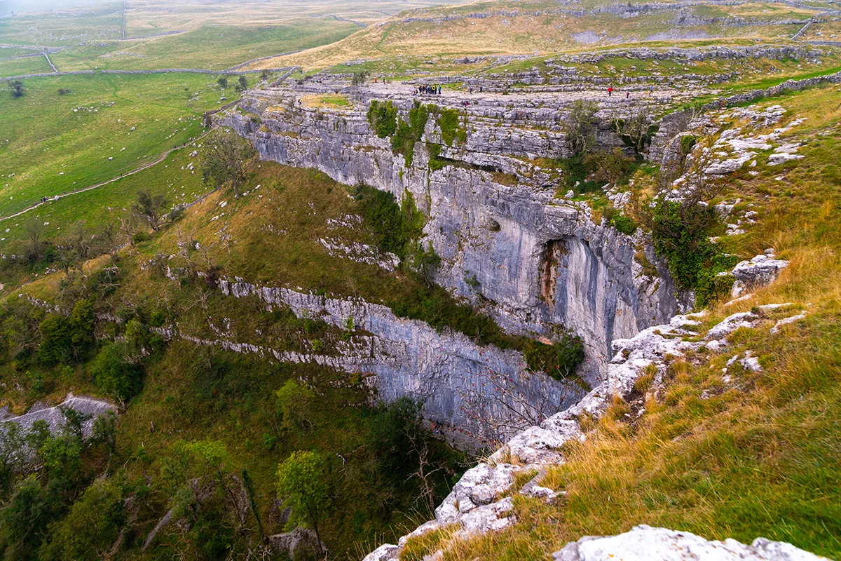
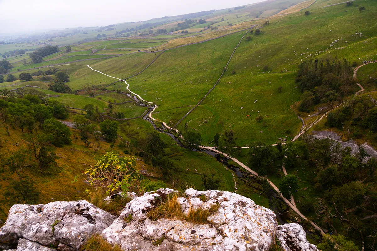
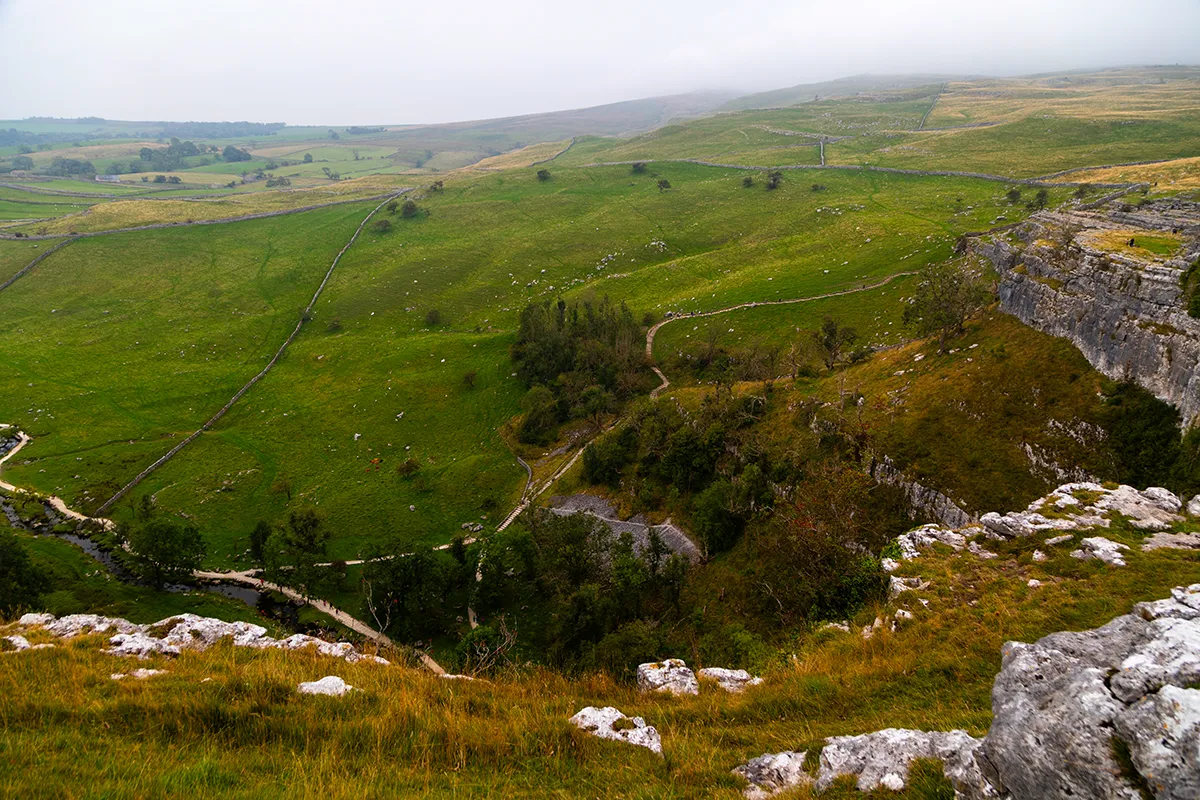
The path down the other end of the cove takes you back towards Malham village, which is a beautiful little place to finish. The weather closed in just as I got back to the car. Perfect timing, for once.
How busy is Malham?
Very. On a summer Sunday I’d guess anywhere from a thousand to three thousand people visit. Yet it’s spotless. There’s no litter anywhere, everything is signposted, the paths are in good order, and the toilets just ask for a small donation. Whoever looks after it is doing a remarkable job.
It was dry when I went, which made it easier. After a downpour, expect it to be wet underfoot.
Supporting files on Patreon
If you want to walk and shoot this route yourself, my Patreon has the supporting files:
- The GPX route to load onto your GPS watch or phone.
- RAW files from Janet’s Foss, Gordale Scar and the cove, so you can edit them yourself and see how yours compare.
- Photo locations, so you can stand exactly where I took each shot.
My verdict
Ten out of ten. Three of the best photo locations in the Dales on one easy, well-kept walk. Just go early.
Tips for photographing Malham
- Arrive at sunrise to beat the crowds and get parked.
- Bring an ND filter. Janet’s Foss and Gordale Scar are made for long exposures.
- Allow four hours if you’re stopping to shoot.
- Pack a warm layer for the top of the cove.
- Stay off the wet rocks.
- Load the route onto a GPS watch or carry a map.
Malham photography walk FAQ
How long is the Malham Cove, Janet’s Foss and Gordale Scar walk?
About 5.5 miles in a circle. It’s around 3 hours of walking, but allow 4 if you’re taking photos.
How much is parking at Malham?
It cost me about £7. Both car parks fill up on busy days, so arrive early.
When is the best time to photograph Malham?
Early morning. By midday on a sunny weekend Janet’s Foss and the cove are rammed.
Is Gordale Scar safe to climb?
Be careful. The rocks are wet and slippy, and if you fall, help can’t get to you quickly. Don’t climb for a photo.
Where can I download the Malham GPX route?
The GPX route, RAW files and photo locations are on my Patreon.
Keep reading
 The kit I carry
See what makes the rucksack
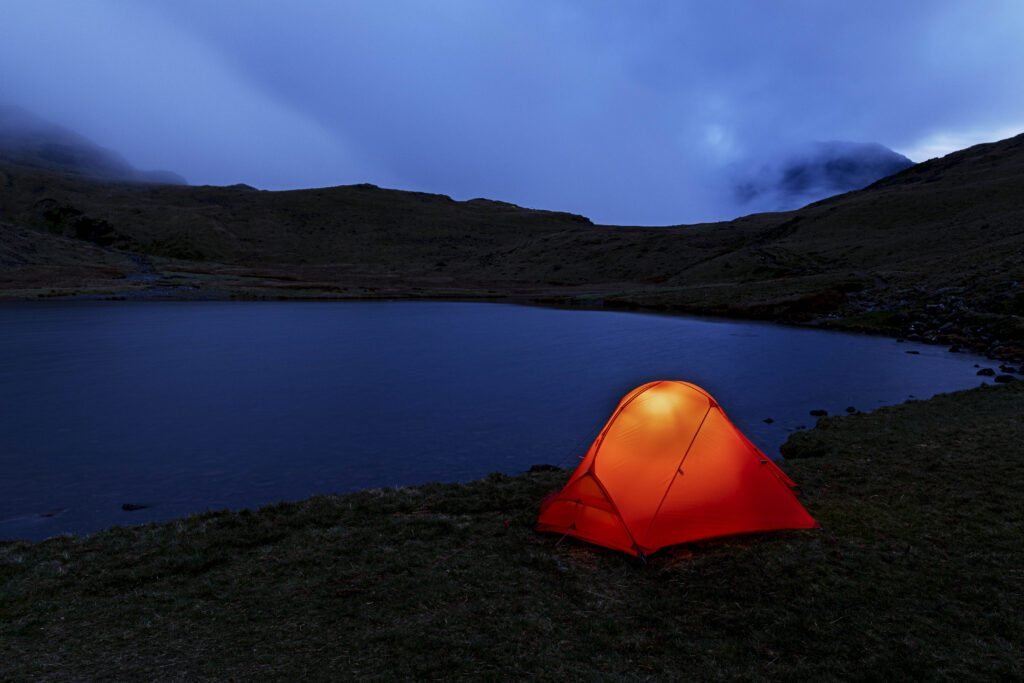
Every tent, sleeping bag, layer and lens I trust, with honest reviews of each.
Planning a Dales shoot?
Tell me where you’re heading and I’ll tell you what I’d take.