
Salt Cellar Derwent Edge Walk: Peak District Photography Locations
Ladybower, the Coach and Horses and the Salt CellarLast updated: October 2026
The Salt Cellar Derwent Edge walk, above Ladybower Reservoir, is one of my favourite places to photograph in the Peak District. The gritstone formations appear out of nowhere along the edge, the views are out of this world, and the Salt Cellar is one of the most striking rocks in the national park.
Here are the four locations I shot from on this walk, with the lenses and techniques I used at each.
Salt Cellar Derwent Edge walk at a glance
| Area | Derwent Edge, above Ladybower Reservoir, Dark Peak |
|---|---|
| Locations | Two viewpoints over Ladybower, the Coach and Horses, the Salt Cellar, Back Tor |
| Walk to the Coach and Horses | About an hour from the car |
| Coach and Horses to the Salt Cellar | About 25 minutes |
| Lenses | 70–200 mm for Ladybower, 24 mm for timelapse |
| Best light | Sunrise or sunset |
| Route | River Derwent, Back Tor, Derwent and Ladybower Reservoirs on AllTrails |
| Files | GPX, exact shooting locations and RAW files on my Patreon |
The Derwent Edge route
The walk I followed is on AllTrails: the River Derwent, Back Tor, Derwent Reservoir and Ladybower Reservoir route. It climbs from the reservoirs onto Derwent Edge, past the Coach and Horses and the Salt Cellar to Back Tor. I turned around at Back Tor and came back along the top of the edge, but the full route carries on round. Load it onto your phone or GPS watch before you go, and save the Salt Cellar as a waypoint.
My own GPX, the exact shooting locations and the RAW files are on my Patreon.
Locations 1 and 2: Ladybower from above
The first two spots look down over Ladybower. I shot these on my Canon 5D Mark IV with the 70–200 mm at 70 mm. Most of the picture is the lake, so I added a one-stop grad to hold the highlights in the sky.
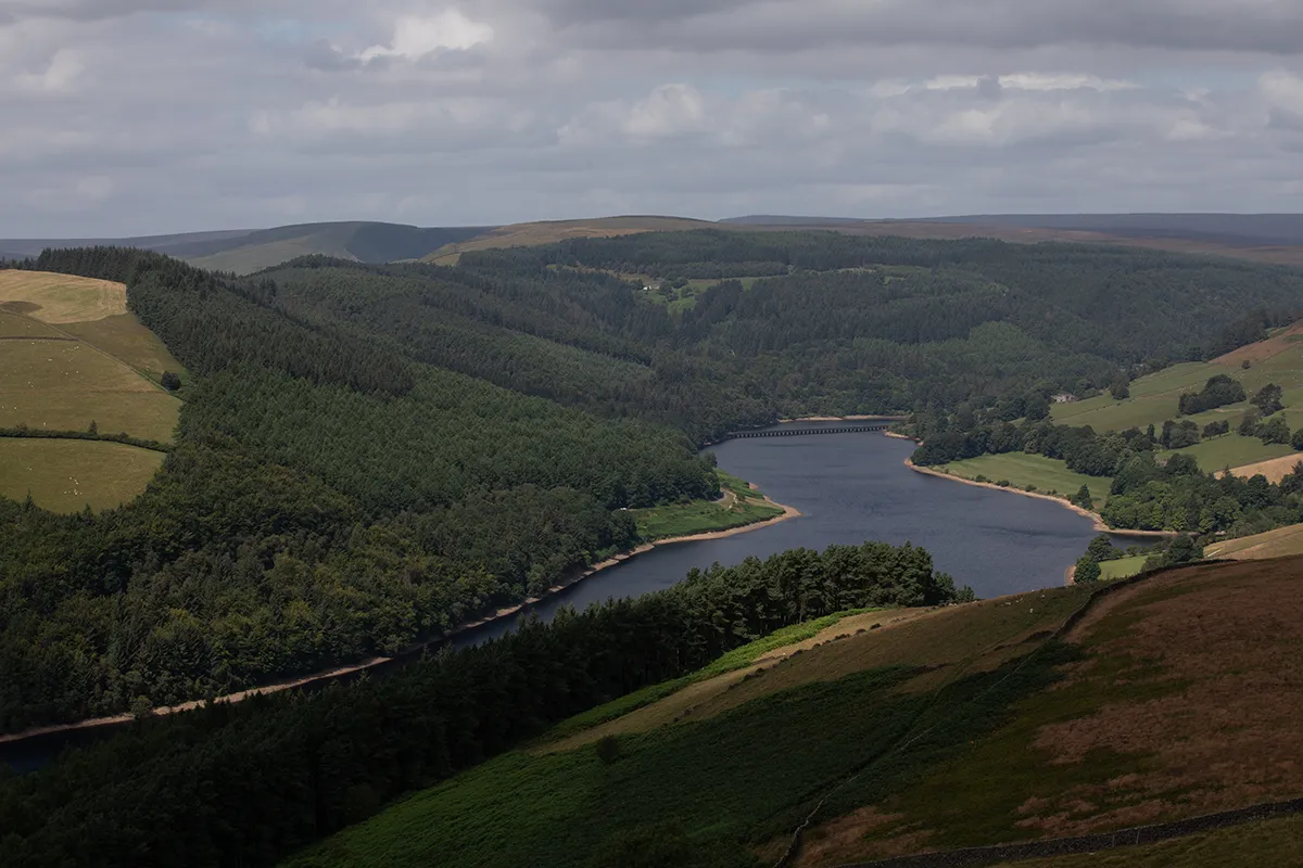
At location two I swapped to my 24 mm and ran a timelapse.
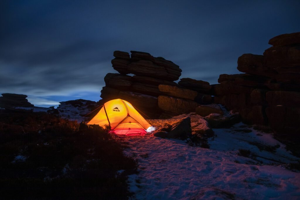
Location 3: the Coach and Horses
The Coach and Horses is a fantastic spot. I’ve wild camped up here a couple of times, the last time in winter, and it was really cold. If you’re watching a sunset or sunrise, this is the place to be. It’s about an hour from the car, which is close enough to be easy and far enough to feel smug about.
It’s a popular area, though, and rangers have been known to move campers on, so keep it discreet, arrive late, leave early and leave no trace.
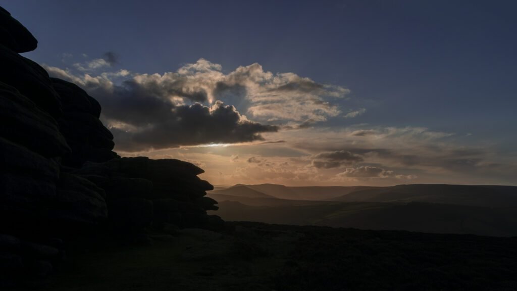
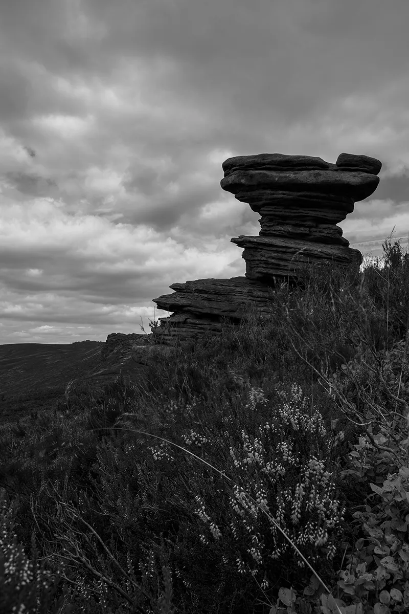
Location 4: the Salt Cellar
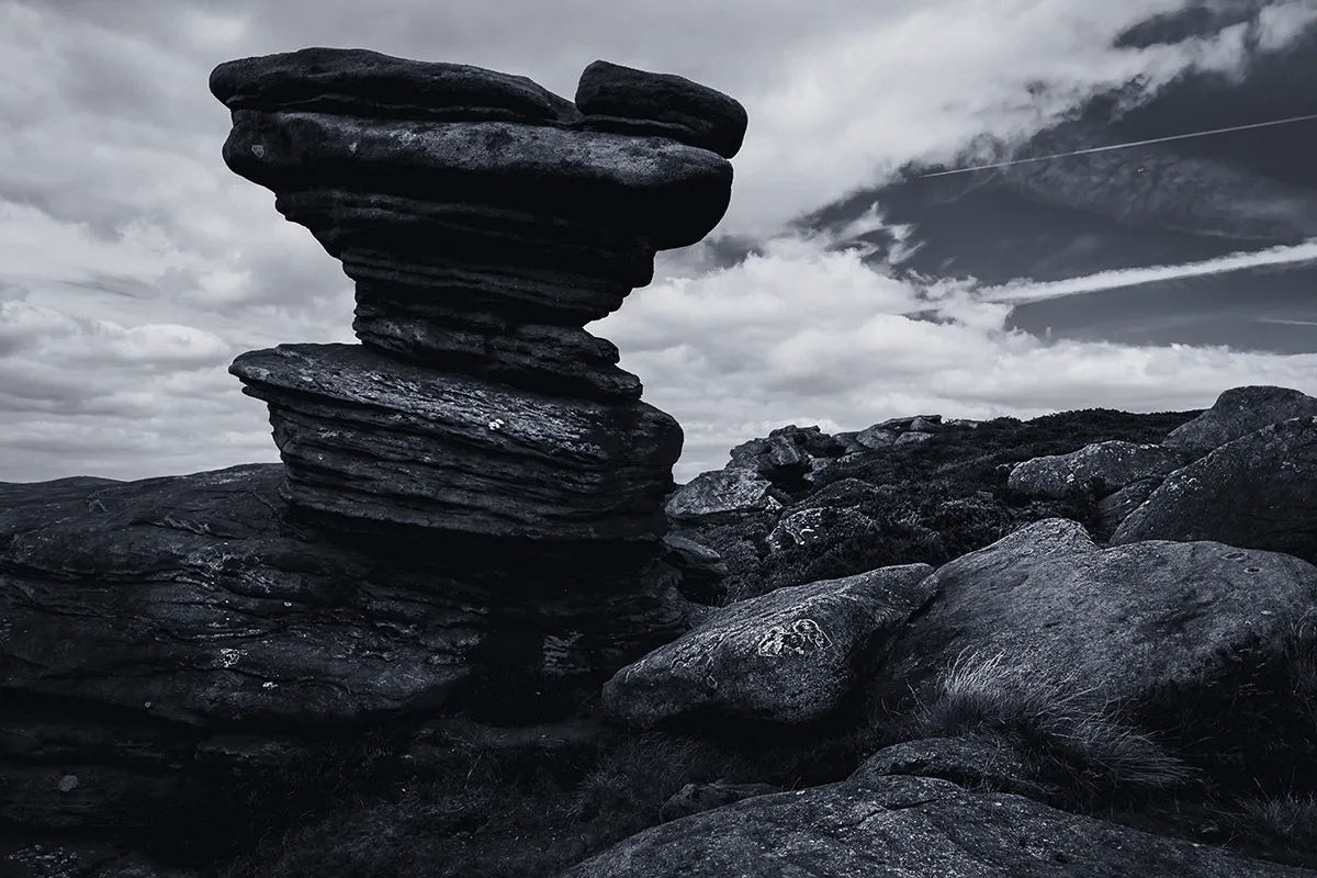
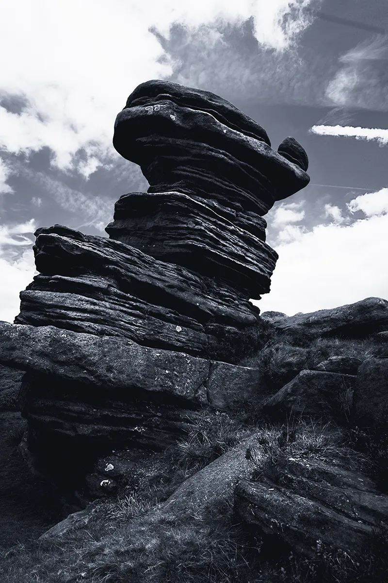
The Salt Cellar is about 25 minutes further along. It’s a little bit out of the way, off the beaten track, so if you’re not 100% sure where it is, there’s a good chance you’ll walk straight past it. For a giant rock, it’s surprisingly good at hiding. Load the location onto your phone or watch before you go.
The light here is tricky. Expose for the foreground and the sky blows out. Expose for the sky and the foreground goes into deep shadow. So I focus stacked and bracketed for exposure, then merged the frames in Photoshop to get the shot I wanted.
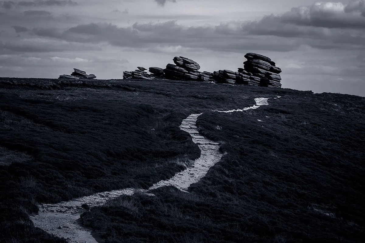
Back Tor and back along the edge
I turned around at Back Tor. The full walk carries on a long way round, but I came back across the top of Derwent Edge instead.
The landscape up here is remarkable. You get patches of field, then rock formations close together, then nothing for a while, then more rocks, with no rhyme or reason. I picked out about five locations, but there are a thousand more. I’ll be back. Probably several hundred times. In winter it looks completely different again.
A new tripod
I’d had the same tripod for 14 years: an old aluminium three-piece that weighed 3 kg and swung off the back of my bag like a pendulum. It got to the point where I didn’t want to take it out. My new Benro Tortoise weighs less than 2 kg and is about two-thirds the size. It screams quality, and I could have done with it years ago.
Navigating with a GPX file
I download a GPX file for the route, upload it to the Garmin app and sync it to my watch. The route overlays the map on the watch and keeps me on track. With a full charge, the watch lasts all day using the GPS. I still carry a map and compass as a backup on bigger days. More in my guide to finding the perfect wild camping spot.
Tips for photographing Derwent Edge
- Go for sunrise or sunset. The gritstone glows.
- Take a telephoto for Ladybower and a wide lens for the rocks.
- Bring grads, or plan to bracket. The contrast between sky and rocks is huge.
- Save the Salt Cellar’s location before you go, or you’ll walk past it.
- If you camp, be discreet and leave no trace.
Derwent Edge photography FAQ
Where is the Salt Cellar in the Peak District?
On Derwent Edge, above Ladybower Reservoir, about 25 minutes’ walk along the edge from the Coach and Horses. It’s slightly off the main path, so save the location before you go.
What is the best time to photograph Derwent Edge?
Sunrise or sunset, when the light hits the gritstone formations. It looks completely different again in winter.
Can you wild camp on Derwent Edge?
I’ve camped by the Coach and Horses a couple of times. It’s a popular area and campers can be moved on, so keep it discreet, arrive late, leave early and leave no trace.
What lens should I take to Derwent Edge?
A telephoto like a 70–200 mm for Ladybower from above, and a wide lens around 24 mm for the rock formations and timelapses.
Keep reading
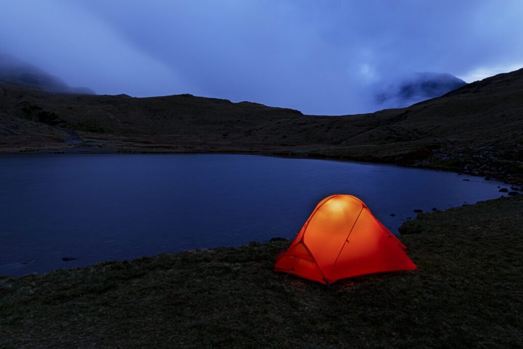 The kit I carry
See what makes the rucksack
Every tent, sleeping bag, layer and lens I trust, with honest reviews of each.
Planning a Peak District shoot?
Tell me where you’re heading and I’ll tell you what I’d take.